Aerial Response Systems markAERIAL RESPONSE SYSTEMSARS · Public Safety UAS Engineering
Solution profiles — capability in development

Solutions

Mission-specific capability, built around real operational challenges

Every ARS solution starts with the mission, not the airframe. Below is how ARS technology is designed to support each discipline it serves.

By Discipline

Mission visuals for the public safety roles ARS is designed around

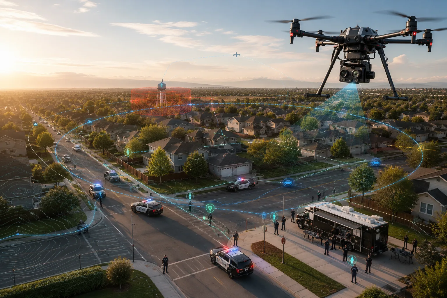
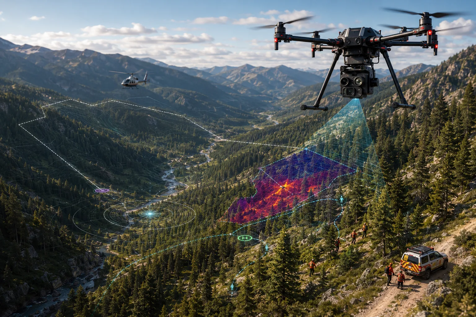
Each section pairs the mission profile with a concept visual for that discipline. The visuals are illustrative and are not evidence of deployment or field results.

Law enforcement mission concept visual for unauthorized drone awareness and shared airspace context.

Mission profile

Law Enforcement

Mission challenge
Patrol and tactical teams often lose track of nearby unauthorized drones and struggle to build a shared aerial picture during fast-moving incidents.
ARS capability
Sensor payload technology under development to receive Remote ID and ADS-B broadcasts and share contacts with TAK-compatible tools. Plausibility checks for anomalous broadcasts exist in payload software and have been exercised against ARS test transmitters only.
Operational value
Operators keep working inside the mapping tools they already use, with airspace activity layered in rather than tracked on a separate screen.

Example workflow

Intended workflow, not yet demonstrated: a drone broadcasting Remote ID near a scene appears as a contact with range and bearing in the map officers already use, with implausible broadcasts flagged for review.
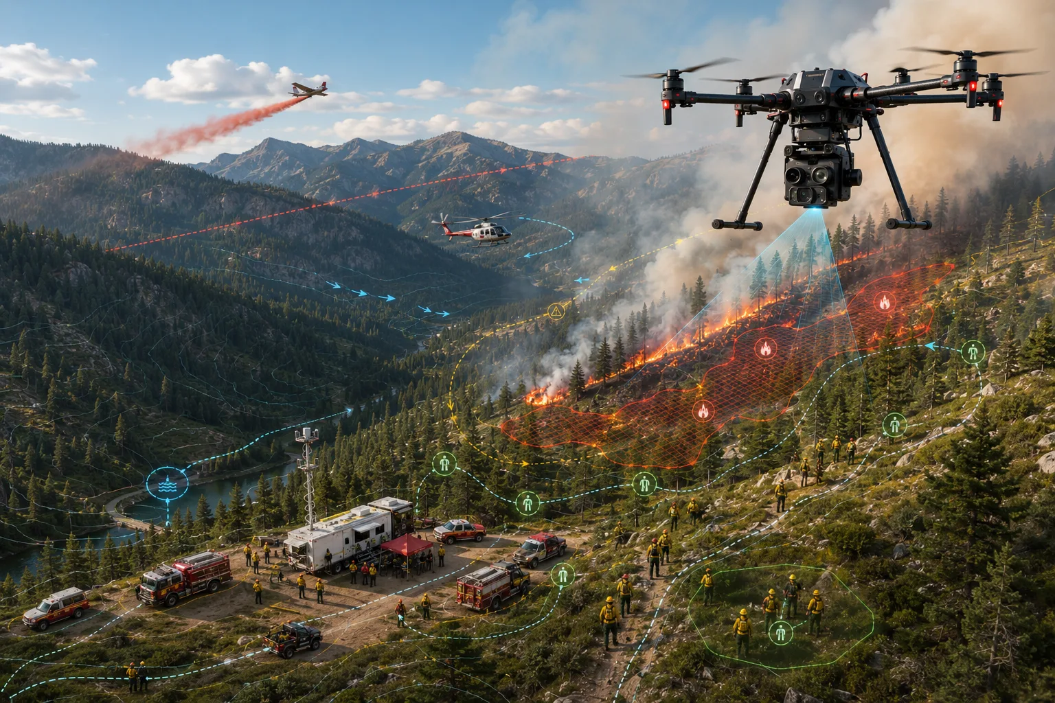
Fire operations mission concept visual for thermal hotspot awareness and command context.

Mission profile

Fire Service

Mission challenge
Wildfire and structure fire commanders need a fast, reliable read on hotspots and fire progression without waiting on manned aircraft.
ARS capability
Thermal imaging paired with AI-assisted hotspot detection, designed to geo-reference heat signatures and share them with command.
Operational value
Faster situational awareness on fire behavior supports resource allocation and crew safety decisions during initial attack and extended operations.

Example workflow

Intended workflow, not yet demonstrated: a UAS surveys a structure fire's perimeter and geo-references hotspots so incident command can track flare-ups without a ground team walking the line.

Search and rescue mission concept visual for thermal-assisted search sector prioritization.

Mission profile

Search and Rescue

Mission challenge
Search teams need to cover large, difficult terrain quickly and prioritize where searchers go first, especially as daylight and resources run out.
ARS capability
A probability-of-area planning engine built on published search-and-rescue research, paired with thermal-assisted person detection.
Operational value
Search effort concentrates on the highest-probability areas first, and thermal detection helps searchers cover ground that would otherwise take hours on foot.

Example workflow

Intended workflow, not yet demonstrated (the engine is software-tested only): a mission planner uses the ARS probability engine to rank search sectors, then directs search effort to the top sectors first, with thermal cues intended to help ground teams investigate heat signatures.

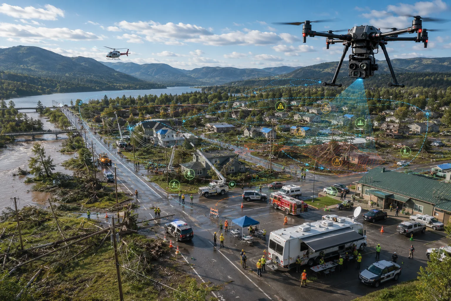
Emergency management mission concept visual for multi-agency shared operational awareness.

Mission profile

Emergency Management

Mission challenge
Emergency managers coordinating multi-agency incidents need one clear, shared operational picture instead of six radios and as many mental models.
ARS capability
TAK-native mission displays designed to bring UAS positions, detections, and advisories into the same shared picture every agency on scene is already using.
Operational value
Unified situational awareness across responding agencies, without requiring a proprietary viewer or a new device in every vehicle.

Example workflow

Fire, law enforcement, and EMA leadership all view the same live TAK picture during a large-scale incident, each seeing the UAS feed relevant to their role.

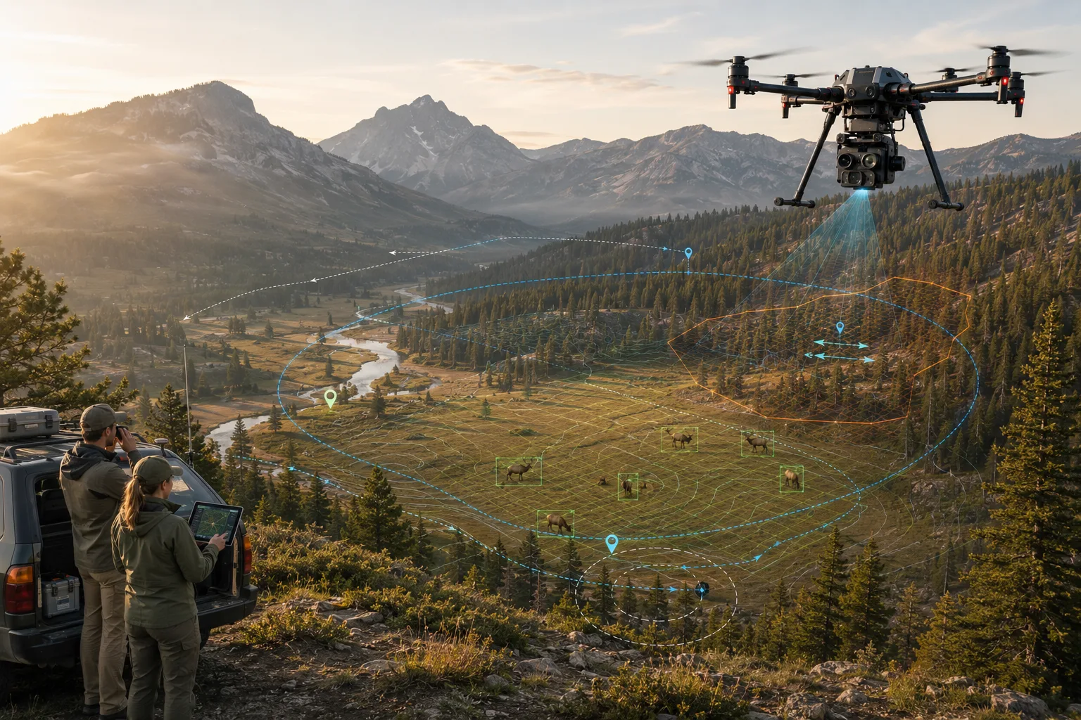
Wildlife and conservation mission concept visual for low-disturbance aerial survey operations.

Mission profile

Wildlife / Conservation Operations

Mission challenge
Conservation and wildlife management teams need low-disturbance ways to survey terrain, monitor herds, and locate animals in distress.
ARS capability
Thermal-assisted aerial survey capability designed to identify wildlife and terrain features from altitude without extended ground disturbance.
Operational value
Faster, less invasive survey coverage over rugged terrain that would otherwise require extensive ground crews or manned aircraft.

Example workflow

Intended workflow, not yet demonstrated: a conservation team surveys a river corridor at dawn, using thermal detection to identify wildlife activity across a wide stretch of terrain.

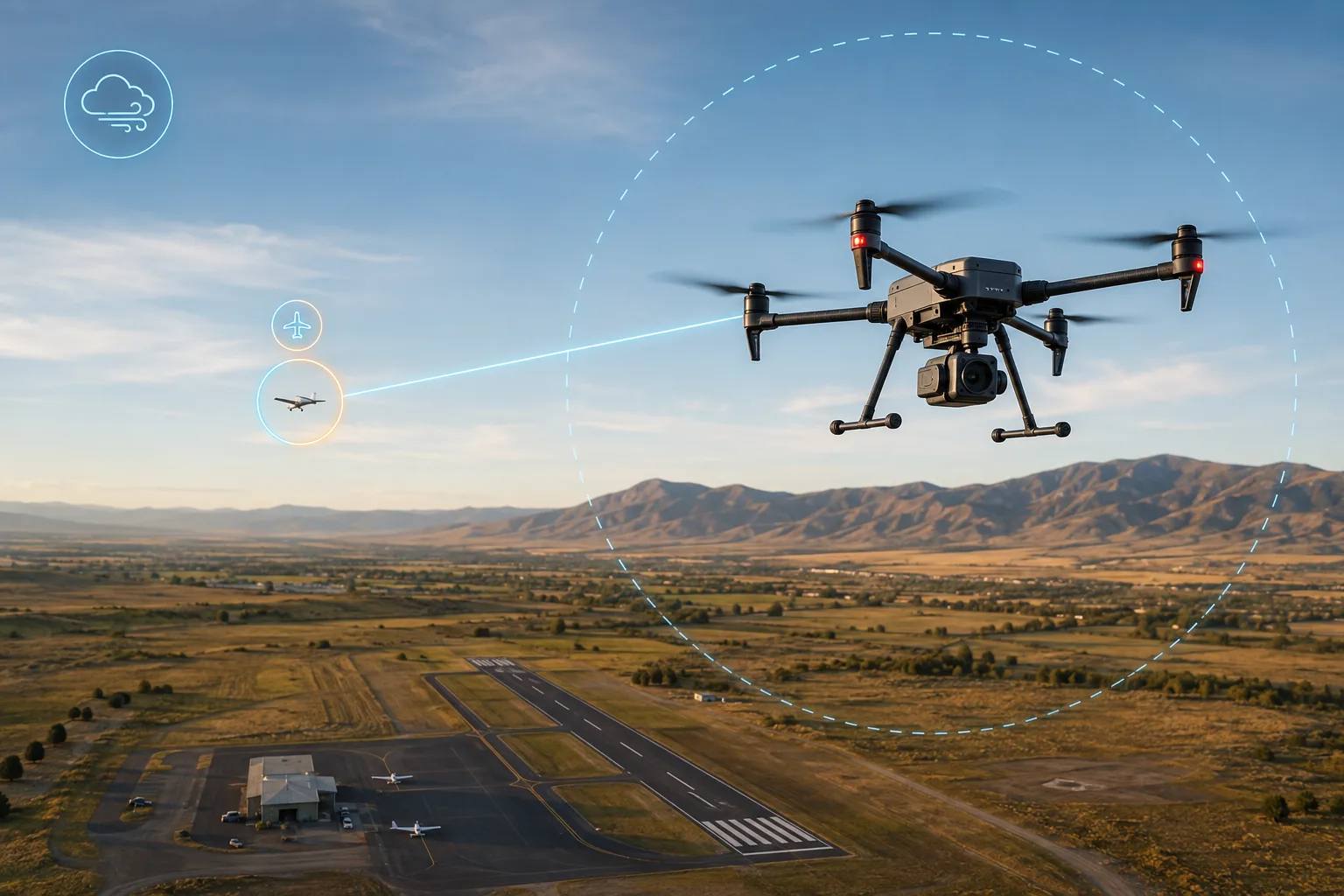
Aviation operations mission concept visual for ADS-B traffic awareness and weather-aware decision support.

Mission profile

Aviation Operations

Mission challenge
Small UAS operations near other aircraft need reliable awareness of manned traffic, and aviation-focused teams need weather-aware go/no-go support.
ARS capability
ADS-B traffic monitoring with tiered deconfliction alerts, and an advisory-only aviation weather decision-support engine currently in early development.
Operational value
Intended to give the UAS operator additional situational awareness during flight planning and operations, with the operator in command. Weather and planning tools are advisory; the traffic-alert function is designed to trigger a return-to-launch on a critical alert.

Example workflow

Intended workflow, not yet demonstrated in flight: as ADS-B traffic enters a defined buffer, the system raises a tiered alert to the operator. On a critical alert the design triggers a return-to-launch response, which has been exercised on a bench rig only.

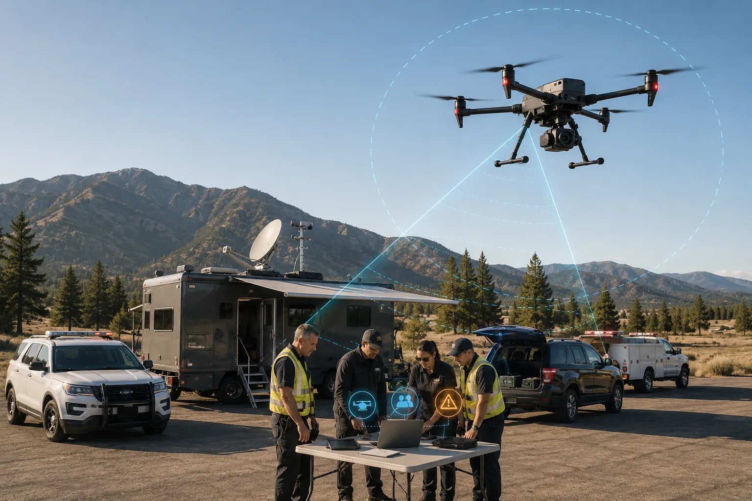
Incident command mission concept visual for role-specific executive mission display awareness.

Mission profile

Incident Command / Executive View

Mission challenge
Incident commanders need a high-level operational picture without being buried in raw sensor feeds meant for field operators.
ARS capability
A role-specific executive mission display concept that surfaces status, active assets, and key advisories at the level command actually needs.
Operational value
Command staff get the signal, not the noise, while field operators keep their detailed, sensor-level views.

Example workflow

While a UAS operator watches raw thermal video, the incident commander's display shows asset status, active alert levels, and mission phase at a glance.

Don't see your mission listed?

ARS technology is built on a modular sensing and decision-support architecture. If your team has an airspace-awareness or aerial ISR challenge, we want to hear about it.