UAS Operator
The primary flight and sensor view: live video, airspace track list, and alert level, built to keep the operator's eyes on the mission, not a cluttered dashboard.
Mission Displays
Every mission has more than one seat at the table. ARS is designing role-specific operator interfaces so each person sees exactly the information their job requires — no more, no less.
Dashboard Gallery
These images are concept visuals, not production screenshots or evidence of agency deployment.
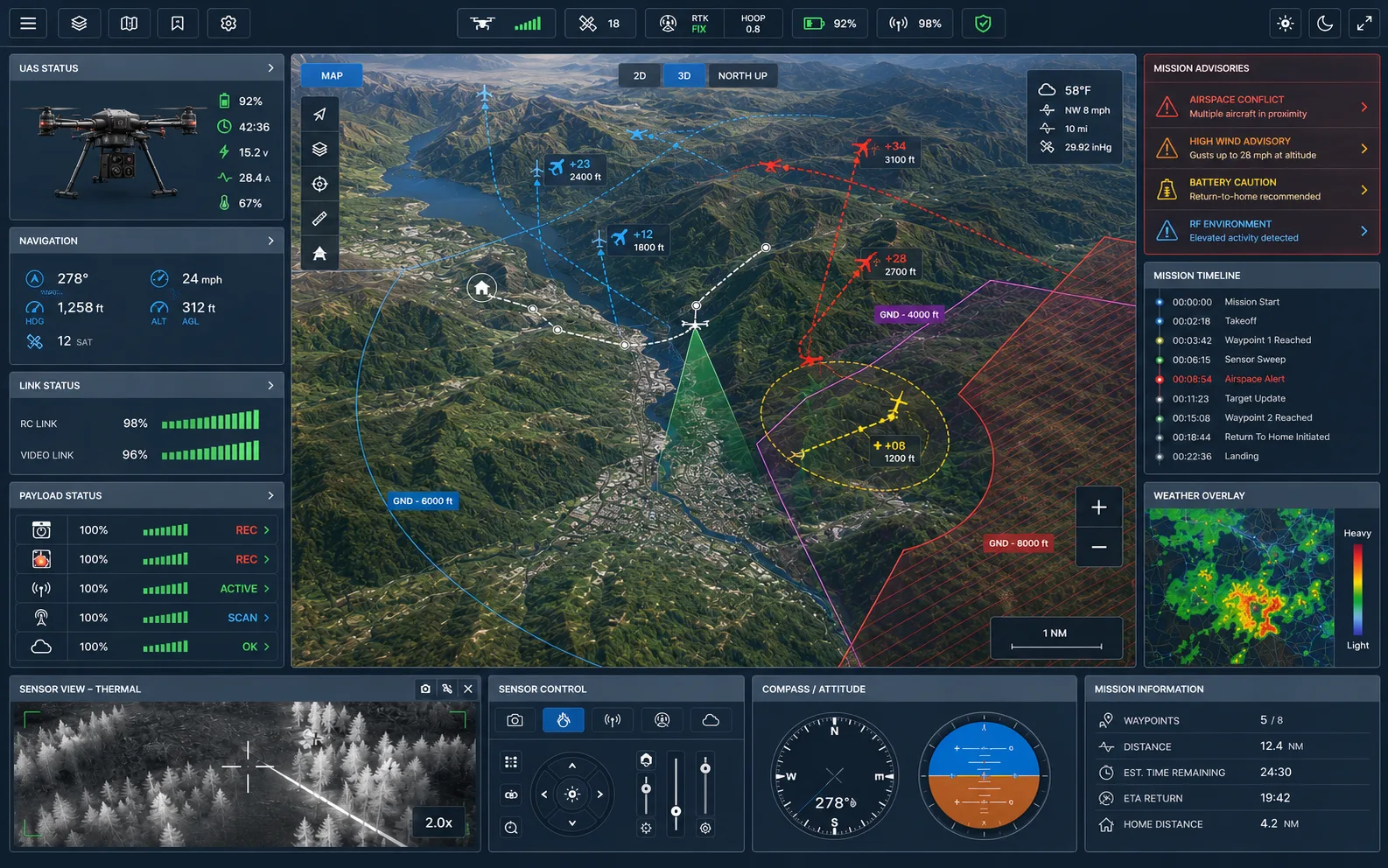
Mission display concept
Primary operator view for live sensor context, aircraft status, and advisory airspace awareness.
Concept interface imagery only. These visuals do not imply production deployment, certification, or agency adoption.
Shared Data Model
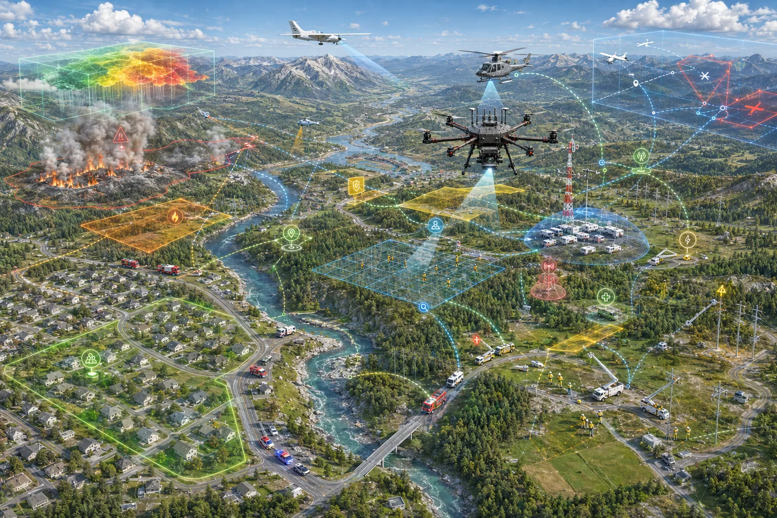
ARS display concepts are designed around different information needs: detailed views for operators, aviation context for flight-aware teams, and summarized posture for command staff.
Concept visual
Common operational picture
Role-Specific Views
These are concept interfaces illustrating ARS's mission-display direction, not production screenshots. Each is built on the same underlying data — presented differently depending on who's looking at it.
The primary flight and sensor view: live video, airspace track list, and alert level, built to keep the operator's eyes on the mission, not a cluttered dashboard.
A tactical view focused on unauthorized drone activity and scene-relevant contacts, designed to sit inside the ATAK map officers already use.
Search-sector prioritization and thermal detection alerts, framed around the probability-of-area model driving the current search plan.
Hotspot geo-reference and fire-perimeter tracking, designed to keep command aware of fire behavior without a ground observer.
ADS-B traffic and weather advisory context framed for aviation-rule-aware go/no-go decisions, always left to the operator.
A low-disturbance survey view built around thermal detection counts and terrain coverage for conservation and wildlife management teams.
A high-level status view: asset posture, mission phase, and active advisories, without the raw sensor detail field operators rely on.
ARS is actively designing these interfaces with input from the operators who will use them. If you'd like to give feedback on a role-specific display, we want to talk.